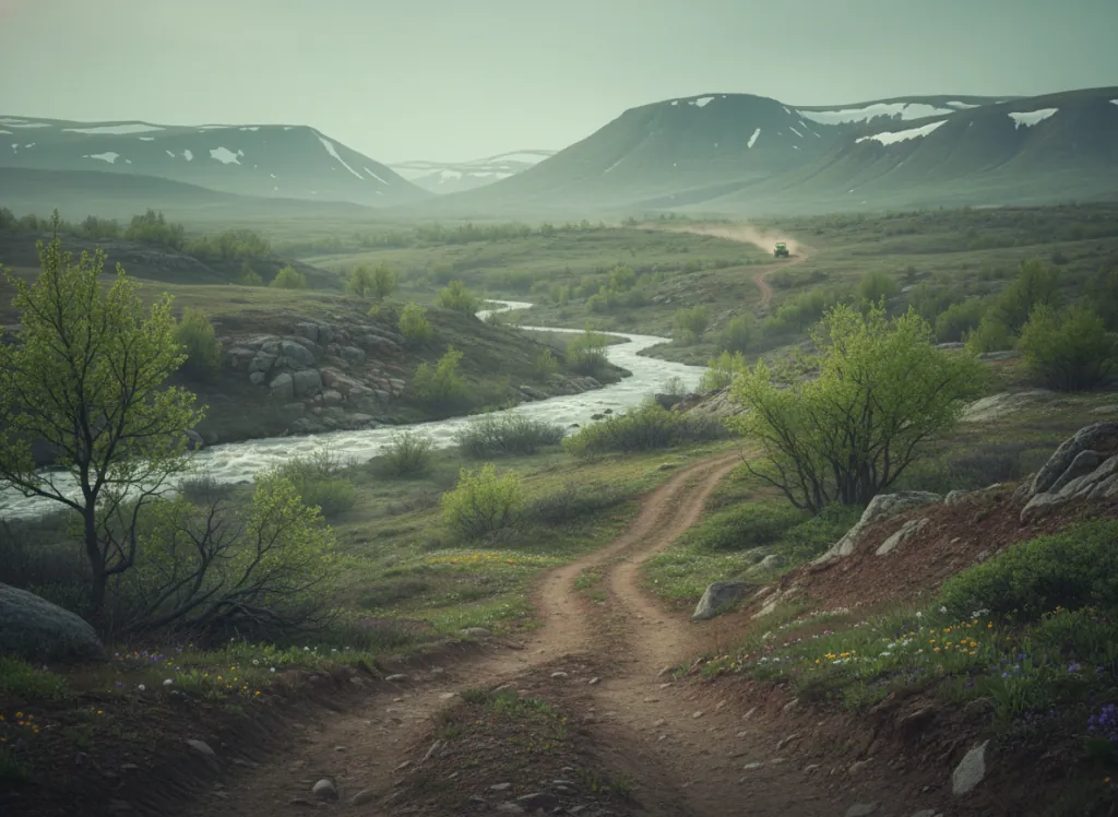
The Grand Mesa National Forest encompasses 346,000 acres of the Grand Mesa: the largest flat-top mountain in the world, rising abruptly from the Grand Valley and Gunnison River corridor at 4,600 feet to a plateau surface at 10,000-to-11,000 feet elevation in Mesa and Delta counties on Colorado's Western Slope. The mesa's extraordinary topographic character makes it one of the most distinctive OHV landscapes in the American West: riders ascend from the semi-desert sage and pinyon-juniper country of the Grand Valley via CO-65 through ponderosa pine and Gambel oak to emerge on a plateau surface of boreal forest and subalpine meadows studded with more than 300 lakes, a landscape that belongs biologically to the Uinta Mountains and Wyoming Range, transplanted by geology to western Colorado's canyon country. The OHV trail network threads across the mesa-top plateau on designated routes through the Engelmann spruce and subalpine fir forest, connecting the mesa's lake basins and crossing the open meadow country that gives the Grand Mesa its distinctive open-sky plateau character. The mesa's position directly above Grand Junction (Colorado's Western Slope population center, ~65,000) and the I-70 corridor makes it the most accessible high-elevation OHV terrain in western Colorado: riders can reach 10,000-foot plateau riding from Grand Junction in under an hour, a drive-time advantage that even the Gunnison Basin and San Juan systems can't match. The Land O' Lakes and Trickle Park areas on the mesa top provide the primary OHV staging, with the forest road network radiating across the plateau. Colorado OHV registration required. Grand Mesa Ranger District in Grand Junction (970-242-8211) manages current mesa-top OHV route conditions.
Hours
Accessible approximately June through October; mesa-top routes close under snow. No day-use fee. Colorado OHV registration required.
Phone
970-242-8211Website
https://www.fs.usda.gov/gmugTrip openings, seasonal updates, and the occasional deal, straight to your inbox.
FAQ
Everything you need to know before you get started.
Have a question, or ready to book? Reach out and we’ll get right back to you.